- City:
- Mill Valley, CA
- Site Type:
- Parks and Recreation, Infrastructure and Utilities, Paths and Trails, Picnic and Other Facilities, Park Roads and Bridges, Flood and Erosion Control
- New Deal Agencies:
- Civilian Conservation Corps (CCC), Conservation and Public Lands, Work Relief Programs, National Park Service (NPS)
- Started:
- 1933
- Completed:
- 1941
- Quality of Information:
- Moderate
- Marked:
- No
- Site Survival:
- Extant
Description
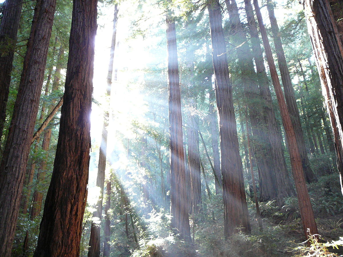
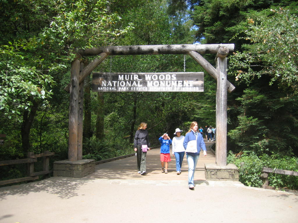
The CCC did extensive work in Muir Woods National Monument.
The National Park Service site summarizes their activity:
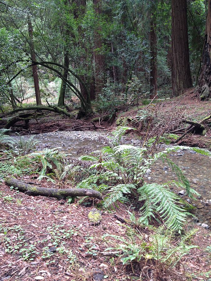
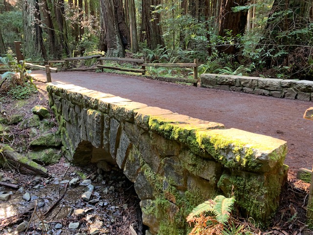
“The men began work in Muir Woods and the surrounding Tamalpais State Park. Projects included a revetment (rockwork stream banks) in Redwood Creek; construction of a stone-faced concrete bridge on Fern Creek; construction of utility buildings and benches; and the construction of the Sidney B. Cushing Memorial Amphitheater (the “Mountain Theater”), near Rock Springs, on Mt. Tamalpais. The CCC completed its last project in Muir Woods in May 1941, and was disbanded shortly thereafter.” (https://www.nps.gov/)
Not everything the CCC did was ideal by modern standards, of course. Stream channelization was very popular in the middle of the 20th century, but knowledge has advanced since then. As one park report notes:
“Unfortunately, some of these projects disrupted natural processes and degraded ecosystem health. For example, the removal of woody debris and the construction of bank revetments or rock walls along 3,541 feet of Redwood Creek prevented the formation of natural pools and undercut banks, which degraded or eliminated the complex habitat that spawning and juvenile coho salmon and steelhead require. Floods were curtailed, and when they were, bare mineral soils were no longer exposed, diminishing the opportunity for coast redwood seeds to sprout into seedlings.” (NPCA Park Report)
Source notes
https://www.nps.gov/muwo/learn/historyculture/stories.htm
NPCA's State of the Parks report about Muir Woods
Site originally submitted by Shaina Potts on March 22, 2016.
Additional contributions by Richard A Walker.
Contribute to this Site
We welcome contributions of additional information on any New Deal site.
Submit More Information or Photographs for this New Deal Site


My father, Everett W. Ludwig, arrived in Mill Valley in October 1933 and worked as an ECW foreman till April 1934. I have photos from the period. Dad’s crew, CCC workers, built fire trails on Mt. Tam. His crew were young men mostly from back East. He received letters from them into the 1950’s. If you have any information on his employment including photos, I would love to hear – Gary Ludwig
Gary,
I’m researching the CCC work on Mount Tam, and would be interested in hearing more about your dad’s work in the 1933-34 period. I just recently determined Camp Muir Woods NM-3 was originally a tent camp set up on the other side of Mt Tam from Muir Woods near Lake Lagunitas.
I can be reached at [email protected]
Matt