- City:
- Santa Monica, CA
- Site Type:
- Roads, Bridges, and Tunnels, Infrastructure and Utilities
- New Deal Agencies:
- Public Works Administration (PWA), Public Works Funding, Bureau of Public Roads (BPR)
- Quality of Information:
- Moderate
- Marked:
- No
- Site Survival:
- Extant
Description
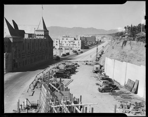
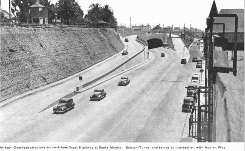
Federal aid funded the construction of the 3.5 mile stretch of the Roosevelt Highway—now known as the Pacific Coast Highway (PCH) and State Route 1—along the Santa Monica, CA, coastline. The funds apparently came from the Public Works Administration (PWA), though the Bureau of Public Roads (BPR) was probably involved.
The California State Division of Highways would have been responsible for planning and construction using private contractors. In order to build this section of highway, the state of California stepped in to purchase the land at the foot of the bluffs that front the beach so that work could be done to stabilize the sandstone bluffs and keep out private development. The work was probably completed in 1939-40 (but confirmation is needed).
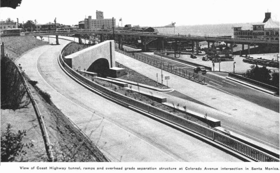
At the north and south ends of this segment of PCH, there are access ramps from Ocean Avenue on top of the bluff (known as the California Incline and Moomat Ahiko Way, respectively). At the south end, beneath the Colorado Avenue Viaduct (a pedestrian crossing), lies the tunnel where Interstate 10 emerges onto PCH. The ramps and tunnel were apparently funded by the federal government, too (but confirmation is needed).
Source notes
Nina Fresco, local historian
Site originally submitted by Richard Walker on May 9, 2023.
Additional contributions by Andrew Laverdiere.
Contribute to this Site
We welcome contributions of additional information on any New Deal site.
Submit More Information or Photographs for this New Deal Site


Join the Conversation