- City:
- Yachats, OR
- Site Type:
- Parks and Recreation, Paths and Trails, Campgrounds and Cabins, Shelters, Landscaping and Tree Planting
- New Deal Agencies:
- Civilian Conservation Corps (CCC), Conservation and Public Lands, Work Relief Programs, US Forest Service (USFS)
- Started:
- 1933
- Completed:
- 1942
- Quality of Information:
- Very Good
- Marked:
- Yes
- Site Survival:
- Extant
Description
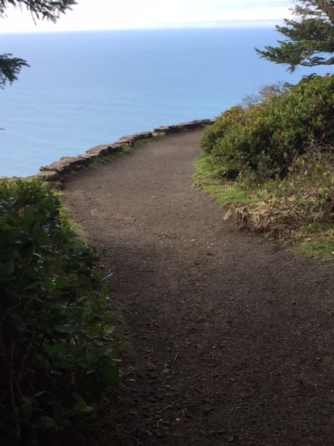
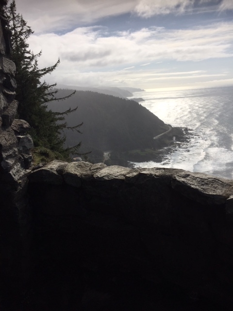
After the Civilian Conservation Corps (CCC) established a camp in 1933 at the foot of Cape Perpetua, the young men began to develop the area currently known as the Cape Perpetua Scenic Area for public recreational use. Their projects included a campground, a network of trails, the West Shelter observation point near the top of the cape, and a roadway to that elevation.
Located in the Siuslaw National Forest, Cape Perpetua was among the first areas identified in Oregon for CCC work. In addition to the usual reforestation and conservation assignments associated with US Forest Service land, recreational development became a major part of the CCC work program at this site.
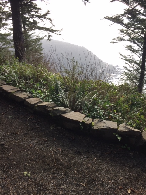
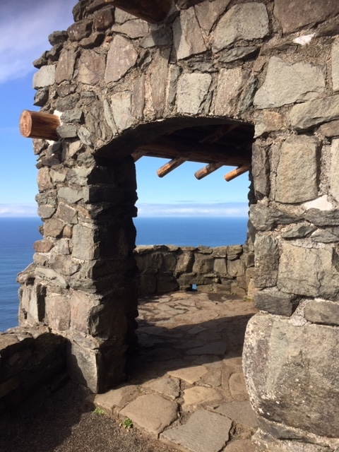
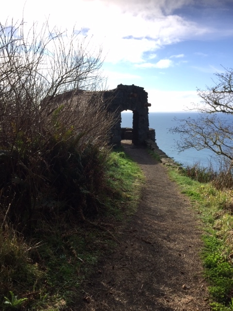
Among the earliest projects were a picnic area at the foot of the mountain and the road that climbs to its summit. The workers also laid out approximately twenty-six miles of trails. By late 1933, the CCC crew completed the West Shelter and its parapet at the crest of Cape Perpetua. The Forest Service provided the design for the rustic style shelter.
The West Shelter, almost 1000 feet above the coast highway, offers one of the best views on the Oregon coast with approximately seventy miles to the south visible on a clear day. Used as a military watch station during WWII, the military installed a large coastal defense gun as well as a radar facility on the mountain.
The West Shelter and its parapet were listed on the National Register of Historic Places in 1989. In the nomination form for the West Shelter, it is noted that the structure’s design, choice of materials and location choice reflect the “aesthetic of 1930s rustic architecture and non-intrusive landscape management.”
Source notes
https://oregonencyclopedia.org/articles/cape-perpetua/#.XoubUohKiUk
https://heritagedata.prd.state.or.us/historic/index.cfm?do=main.loadFile&load=NR_Noms/88002016.pdf
https://www.beachconnection.net/news/stoneshelt072012_518.php
Site originally submitted by Douglass Halvorsen on April 9, 2020.
Additional contributions by Judith T Kenny.
Contribute to this Site
We welcome contributions of additional information on any New Deal site.
Submit More Information or Photographs for this New Deal Site



Join the Conversation