- City:
- Anadarko, OK
- Site Type:
- Civic Facilities, Military and Public Safety, Armories
- New Deal Agencies:
- Work Relief Programs, Works Progress Administration (WPA)
- Completed:
- 1936
- Designer:
- Bryan W. Nolen
Description
“This WPA Project brought in $60,000 to the economy of Anadarko and employed 210 people, for a period of 13 months…
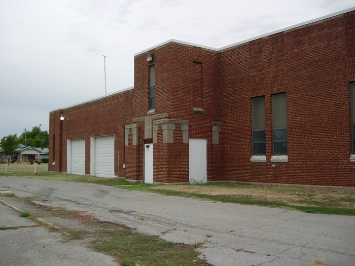
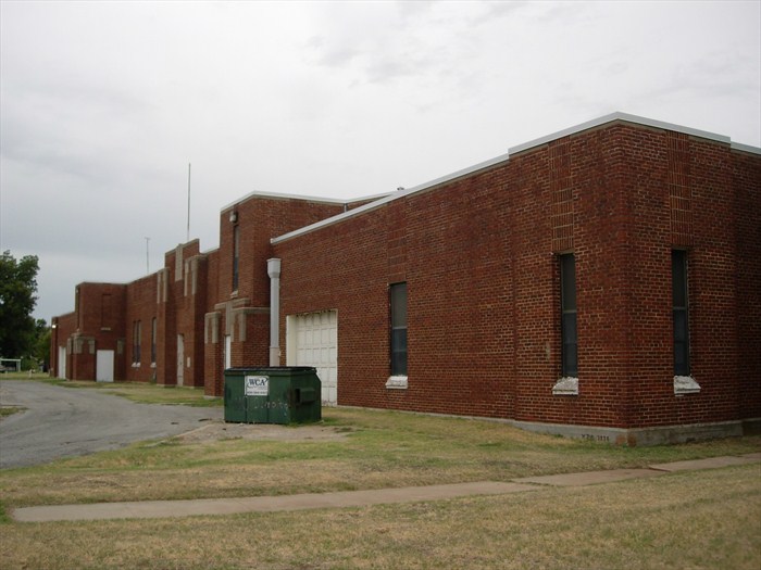
One of the significant projects of the WPA during the years 1935-1943 was the construction of military armories. This T-shaped armory is rather unique in its design with wings extending on the north, south and west. At the center is a barrel-roofed drill area, with a stage at one end. Beneath this stage area was an underground rifle range. The armory contains 23,000 feet and was one of the largest built in Oklahoma by the WPA.
This armory is constructed of locally formed red Oklahoma brick. The main entrances face east. Above each window on the north, south and east are columns of vertically-placed brick adding to the vertical look of the building. All windows and the overhead doors are original
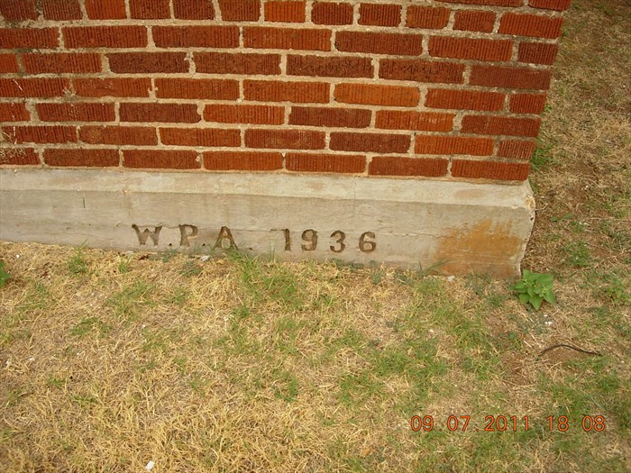
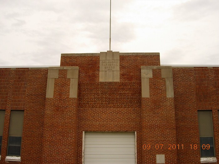
The City of Anadarko donated nine acres of land for the building of this armory, taken from adjacent Randlett Park back in 1935. The building is 230 feet north-south, and 145 feet east-west. It was designed by architect, Bryan W. Nolen who designed many of Oklahoma’s WPA-built armories. Above each of the two main entrances is a stepped parapet with projected pilasters rising to square-topped towers. A concrete block at the center reads: “OKLAHOMA NATIONAL GUARD 1936”. A large concrete cornerstone, at waist-height is displayed north of the main entrance. It reads: “STATE ARMORY BUILT BY WORKS PROGRESS ADMINISTRATION 1936 W.S. KEY STATE ADMINISTRATOR.”
The armory was built to house three units of the 45th Infantry. It was the Regiment Headquarters for the 158th Field Artillery, as well as home to Company B of the 158th Field Artillery and Company F of the 120th Quartermaster Regiment.
This year, the armory was deeded from the Oklahoma Military Department to the city of Anadarko, as part of the Guard’s long-term plans to consolidate its area facilities to Fort Sill… The city council has identified several potential uses for the armory, including a home for its public works operations or a community center.
The armory was placed on the National Register of History Places in 1994 (#94000479).” (https://www.waymarking.com)
Source notes
https://www.waymarking.com/waymarks/WMD26G_Anadarko_Armory_Anadarko_OK National Register of Historic PlacesSite originally submitted by hamquilter on November 12, 2013.
Contribute to this Site
We welcome contributions of additional information on any New Deal site.
Submit More Information or Photographs for this New Deal Site


Join the Conversation