- City:
- Bronx, New York City, NY
- Site Type:
- Parks and Recreation, Paths and Trails
- New Deal Agencies:
- Work Relief Programs, Works Progress Administration (WPA)
- Quality of Information:
- Moderate
- Site Survival:
- Extant
Description
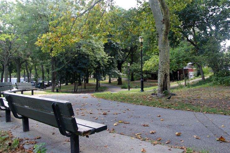
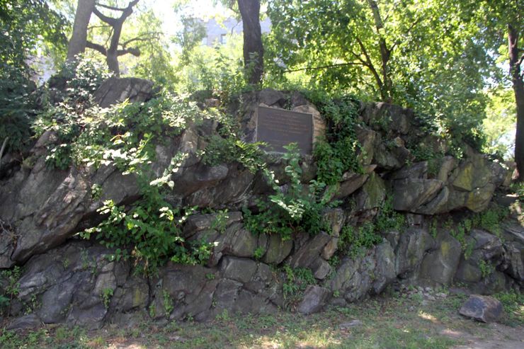
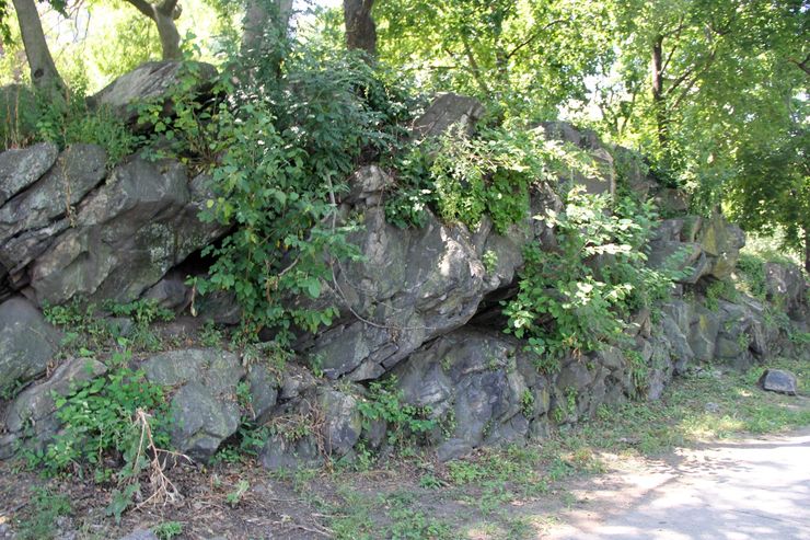
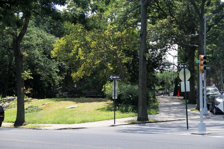
Washginton’s Walk is an area of parkland extending along the south edge of Jerome Park Reservoir, stretching roughly from Strong Street Playground to Old Fort Four Park. Although we have yet to uncover direct textual evidence of New Deal involvement in the development of this stretch of parkland along the south end of Jerome Park Reservoir, researcher Frank da Cruz makes a persuasive case here for the likelihood of New Deal involvement in building Washington’s Walk. First, photos of the area from 1924 show that the park did not exist at that point. So, da Cruz explains, “unless the Bronx Borough Parks Department or the Bronx Borough President built Washington’s Walk between 1924 (when this photo was taken) and 1929 (when the Depression struck), then the entire stretch from the Strong Street Playground to Old Fort Four Park, including Washington’s Walk and its paths, lighting, benches, trees, and overlooks, were one single project. Unfortunately Bronx Borough Parks Department reports are not available for 1924-29 (see list). However, close inspection of the Press Release for October 14, 1935[3] announces a “new playground” opening at “Reservoir Avenue between University and Webb Avenues (Fort No.4)”. Although there is no playground there today, this is the precise location of a portion Washington’s Walk, so we know it was created in 1935. Add to this the fact that Hugh S. Johnson, one of the architects of the New Deal, was present at the ceremony[3], and that WPA labor indisputably built the park a few feet to the south, and considering the facts laid out in Reference [4], the chances of Washington’s Walk not being a New Deal creation are vanishingly small.”
Source notes
https://kermitproject.org/newdeal/kingsbridge/fortfour1.html: 1 Washington's Walk: Old Fort Four Park, New York City Department of Parks website. 2 New York City Parks Department press release of October 25, 1934. 3 New York City Parks Department press release of October 14, 1935. 4 New Deal Assistance in NYC Parks Department Projects, 1934-43. 5 Lionel Pincus and Princess Firyal Map Division, The New York Public Library: N.Y. City (Aerial Set) Section 1D. 6 Entire set of 1924 aerial views of NYC, NYPL, labeled “Only Public Domain”. 7 NYCityMap at GIS.NYC.GOV. Click where it says Map Type and then click "1924 Aerial". Then drag and zoom.Site originally submitted by Frank da Cruz on August 9, 2015.
Contribute to this Site
We welcome contributions of additional information on any New Deal site.
Submit More Information or Photographs for this New Deal Site


Join the Conversation