- City:
- New Orleans, LA
- Site Type:
- Public Housing, Civic Facilities
- New Deal Agencies:
- Housing Programs, US Housing Authority (USHA)
- Started:
- 1938
- Completed:
- 1941
- Quality of Information:
- Good
- Site Survival:
- Extant
Description
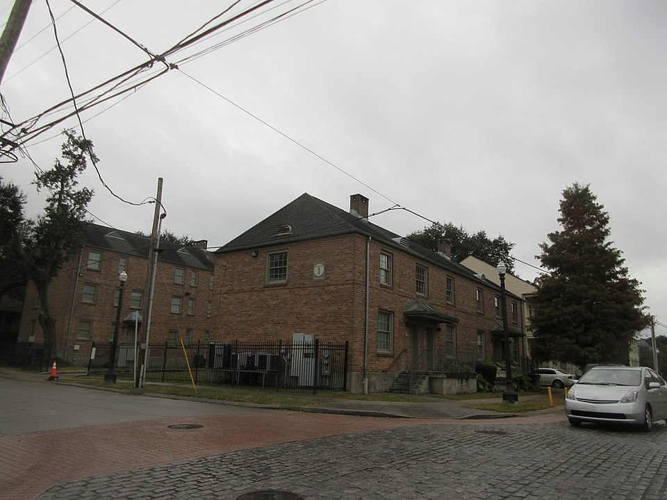
St. Thomas was one of six public housing projects constructed under the Housing Act of 1937. It was constructed 1938-1941 and contained 920 units of two or three story brick buildings. The architect’s rendering for the St. Thomas Street project was “planned to provide maximum light, space and air; buildings about a central court, with cool porches” (Slum Clearance, 1938, p. 68). The housing authority began demolition and redevelopment in the late 1990s, but five or the original buildings were saved “for historical purposes” (St. Thomas Development Neighborhood). The buildings are on the corner of Felicity and St. Thomas streets along the 1800 block of St. Thomas and were renovated along with the new housing construction. Original boundaries were St. Thomas Street, Felicity Street, Josephine Street and a service alley between Constance and Laurel streets.
Source notes
Theriot, A. (2014). United States Housing Authority (USHA)-funded Public Housing in Louisiana, 1935-1950. National Register of Historic Places Multiple Property Documentation Form. National Park Service, United States Department of the Interior.
Slum Clearance to Change Two New Orleans Areas From Centers of Physical and Mental Ailments Into Healthy Beauty Spots. (Aug 14, 1938). The Shreveport Times, p. 68.
Before and After—At New Orleans. (May 5, 1940). The Shreveport Times, p. 5.
St. Thomas Development. Wikipedia. Retrieved Dec 18, 2019 from: https://en.wikipedia.org/wiki/St._Thomas_Development
St. Thomas Development Neighborhood Snapshot. Greater New Orleans Community Data Center. Retrieved Dec 18, 2019 from: https://www.datacenterresearch.org/pre-katrina/orleans/2/59/snapshot.html
Site originally submitted by Susan Allen on December 21, 2019.
Contribute to this Site
We welcome contributions of additional information on any New Deal site.
Submit More Information or Photographs for this New Deal Site

Join the Conversation