- City:
- Oak Park Heights, MN
- Site Type:
- Paths and Trails, Parks and Recreation
- New Deal Agencies:
- Work Relief Programs, National Youth Administration (NYA)
- Started:
- 1935
- Completed:
- 1939
- Designer:
- A. R. Nichols
- Quality of Information:
- Very Good
- Site Survival:
- Extant
Description
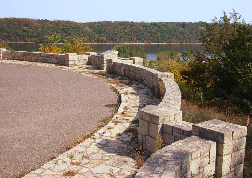
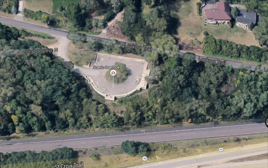
The Stillwater Overlook – South was built as part of an extensive roadside development project in the Stillwater area. Work on the Stillwater-area projects apparently occurred in 1935-1939, first using federal relief labor hired under the National Recovery Work Relief (NRWR) program in 1935-1936, and then using labor from the National Youth Administration (NYA) in 1936-1939. A. R. Nichols, the MHD Roadside Development Division’s Consulting Landscape Architect, designed the Stillwater-area projects. The Stillwater Overlook – South was constructed in 1936-1939 as part of a roadside development project that improved a .9-mile stretch of T.H. 212 (now T.H. 36). The overlook was established on the site of an old borrow pit. The wall was built in 1936-1937 by the NYA. The NYA landscaped the site in 1938-1939. In 1939 the NYA also installed a steel historic marker here. The marker was a free-standing, 3′ by 5′ steel sign that was framed with rustic timbers. It had a white background and black lettering. This style of marker (usually without the timber framing) was erected by the first joint trunk highway marking program, which was established by the Minnesota Historical Society and the Minnesota Department of Highways in 1929.
An original planting plan for the site has not been located. However, the 1939 Annual Report of the Accomplishments of Roadside Development indicates that in 1939 the NYA furnished and installed 25 evergreen shrubs, 28 evergreen trees, 513 deciduous shrubs, and 135 deciduous trees (Annual Report 1939:26).
This roadside development work also included at least one additional site, known as Stillwater Spring Development (S.P. 212-45-22). It was built in 1938 by the NYA, and has been razed.
Source notes
https://www.dot.state.mn.us/roadsides/historic/files/iforms/WA-OHC-005.pdfSite originally submitted by Andrew Laverdiere on June 28, 2016.
Contribute to this Site
We welcome contributions of additional information on any New Deal site.
Submit More Information or Photographs for this New Deal Site

45.040316, -92.795841 are the correct Coordinates, Address 6305 Lookout Trail.