- City:
- Coarsegold, CA
- Site Type:
- Roads, Bridges, and Tunnels, Infrastructure and Utilities
- New Deal Agencies:
- Bureau of Public Roads (BPR), Public Works Funding, Work Relief Programs, Public Works Administration (PWA), Works Progress Administration (WPA)
- Started:
- 1933
- Quality of Information:
- Very Good
- Marked:
- No
- Site Survival:
- Extant
Description
The old Fresno-Yosemite road (today’s state highway 41) was rebuilt during the New Deal with aid from the Bureau of Public Roads (BPR) to the California Division of Highways. The old road, built for wagons in the 19th century, was notoriously bad and unsuited for the boom in automobile traffic into Yosemite National Park from southern California by the 1920s (Broesamle ms).
In 1926, Congress began providing additional funds to the BPR to build roads within the national parks, in alliance with the National Park Service, and then added more funding in 1932 for access roads to the parks.
The first park of the Highway 41 reconstruction – from Oakhurst north to the park boundary – was finished in 1932-33, but the rest of the road from Oakhurst to Fresno was completed thanks to an infusion of funding under the New Deal starting in 1933 – almost surely from the Public Works Administration (PWA).
According to the Clovis Independent, 36.3 miles of additional road were constructed beginning in mid 1933: “Early construction work on the Fresno-Yosemite highway between Lane’s bridge [in the city of Fresno – Ed.] and Oakhurst in Madera County was assured when the Federal government notified the State it had approved the allocation of $16,000,000 in Federal funds to various highway projects, including $250,000 for the Yosemite Road…. Already the Federal government has constructed a new road from Oakhurst, leaving the section of the highway from Lane’s bridge to that point to be improved by the State. In preparation for the improvement, the State had taken over Blackstone avenue to Lane’s bridge as a part of the park highway.”
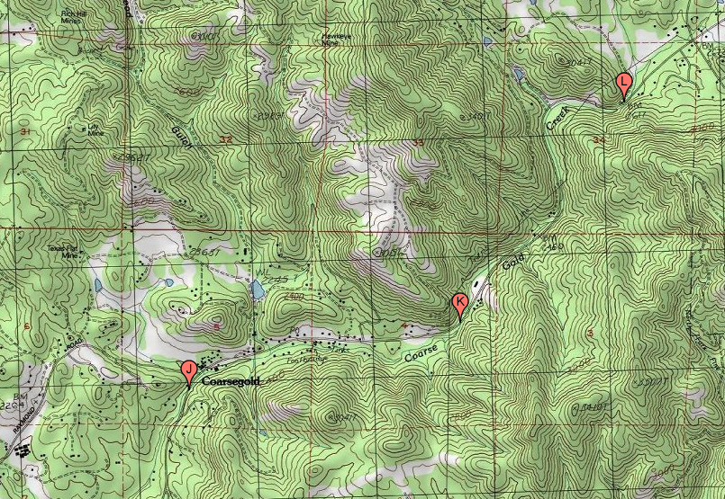
The next segment of the road from Oakhurst south to Coarsegold was completed in 1934, according to California Highway & Public Works (January 1935): “7.9 miles of highway was graded and surfaced between Coarsegold and Oakhurst.” This article confirms the funding figure in the Clovis Independent, noting that $240,000 to build that stretch was provided from federal funds.
Judging by the date stamps on culverts/bridges further south, however, the final section of the road at Coarsegold was not finished until 1936. Therefore, we are not sure when the road was completed all the way to Fresno.
Source notes
The Clovis Independent, "FRESNO YOSEMITE HIGHWAY IMPROVED" (need full citation)
January 1935 issue of California Highway & Public Works
John Broesamle book ms on the New Deal and Yosemite Park, 2022.
Site originally submitted by Andrew Laverdiere on January 22, 2018.
Additional contributions by Richard Walker.
Site Details
| Federal Cost |
|---|
| $250,000 |
Contribute to this Site
We welcome contributions of additional information on any New Deal site.
Submit More Information or Photographs for this New Deal Site


Join the Conversation