- City:
- Medford, OR
- Site Type:
- Parks and Recreation, Paths and Trails, Picnic and Other Facilities
- New Deal Agencies:
- Work Relief Programs, Civilian Conservation Corps (CCC)
- Started:
- 1933
- Completed:
- 1942
- Quality of Information:
- Very Good
- Marked:
- Yes
Description
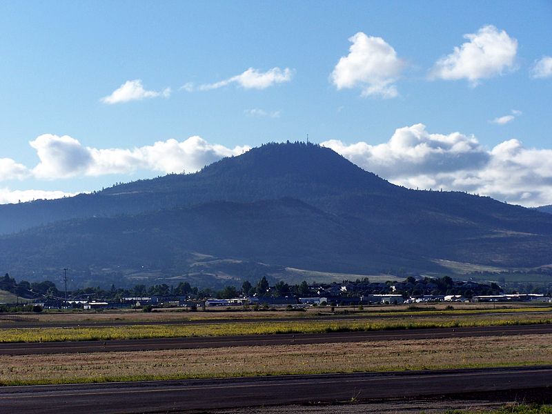
From 1933 to 1942, the Civilian Conservation Corps (CCC) developed Prescott Park on Roxy Ann Peak on the east side of Medford, Oregon for public recreation. The CCC enrollees constructed the access road, 18 miles of trails, several picnic areas and overlooks, and drainage ditches. Much of the CCC work is above the parking area and accessible only on foot.
Prescott Park covers 1,740 acres on Roxy Ann Peak, a prominent hill east of the city of Medford (a remnant of volcanism in the old West Cascades). The lower slopes are characterized by oak savanna woodland and the higher elevations by mixed conifer forest. While the park ecology remains largely undisturbed, housing had crept up the lower slopes.
The city acquired the land, which is outside the city limits, between 1930 and 1933 and officially opened the park in 1937. The CCC made the original improvements to the park. Years later, the park had deteriorated badly until the city renovated the road in 1998.
Source notes
https://en.wikipedia.org/wiki/Roxy_Ann_Peak (the wikipedia entry is very thorough and contains many more references)
Site originally submitted by Elise Tam Cooc on January 10, 2014.
Contribute to this Site
We welcome contributions of additional information on any New Deal site.
Submit More Information or Photographs for this New Deal Site


Join the Conversation