- City:
- Luther, OK
- Site Type:
- Civic Facilities, Cemeteries
- New Deal Agencies:
- Work Relief Programs, Works Progress Administration (WPA)
- Completed:
- 1936
Description
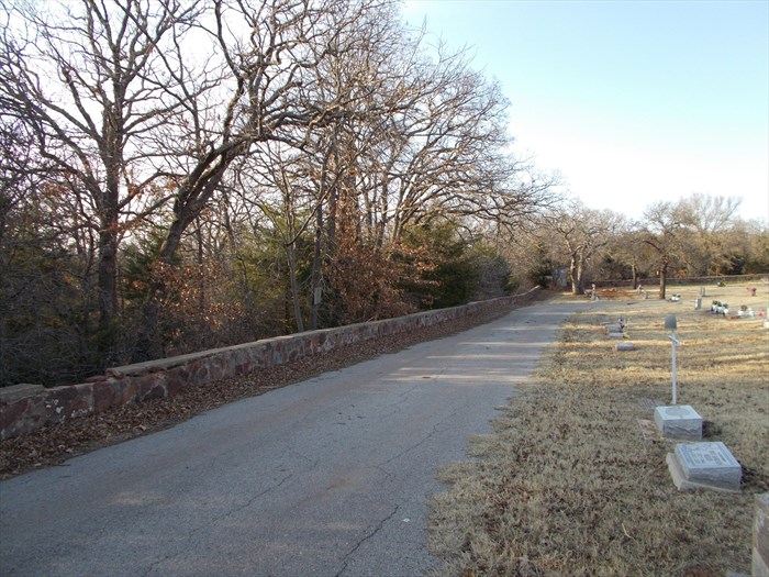
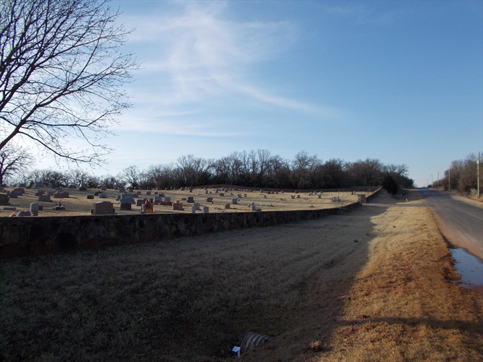
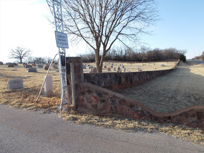
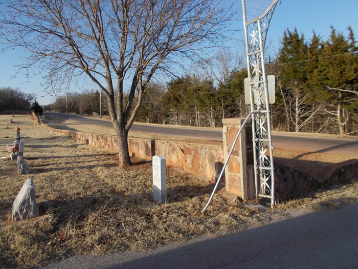
“Luther Cemetery (also known as Valley View Cemetery), dates back to about 1910. This is a cemetery with 1470 burials. Surrounding the cemetery, on all four sides, is a wall constructed of uncut native stone, topped with concrete.
The wall was constructed under a WPA project funded with $3022 in 1936. The cemetery is located about one-half mile north of Route 66 on Peebly Road.
This WPA project is listed in the Oklahoma Landmark Inventory database.” (waymarking.com)
Source notes
https://www.waymarking.com/waymarks/WMKFER_Cemetery_Wall_Luther_OK https://139.78.135.22/SHPO/resultquery.aspx?id=67926&pbc=PSite originally submitted by hamquilter on April 19, 2014.
Contribute to this Site
We welcome contributions of additional information on any New Deal site.
Submit More Information or Photographs for this New Deal Site


Join the Conversation