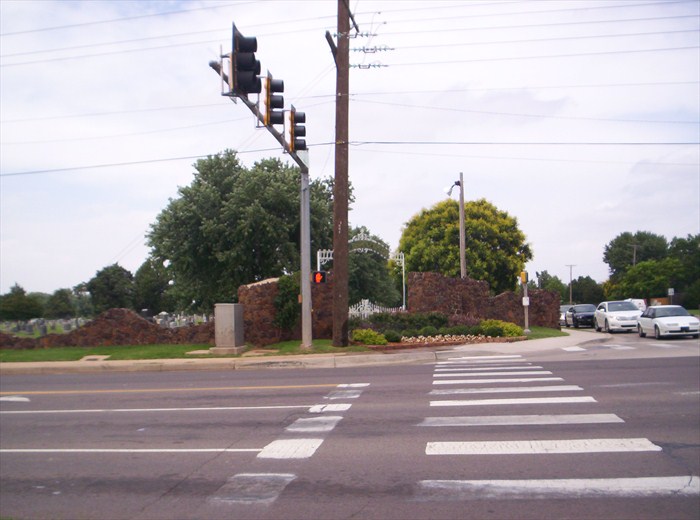
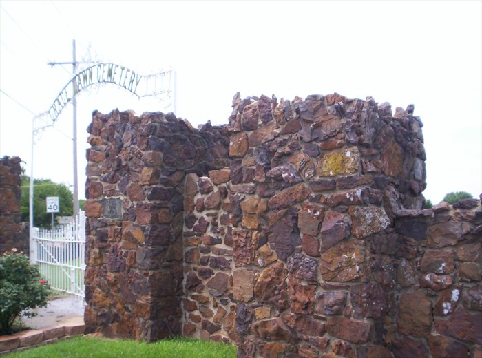
Gracelawn Cemetery Wall – Edmond OK

City:
Edmond, OK

Site Type:
Civic Facilities, Cemeteries

New Deal Agencies:
Work Relief Programs, Works Progress Administration (WPA)

Completed:
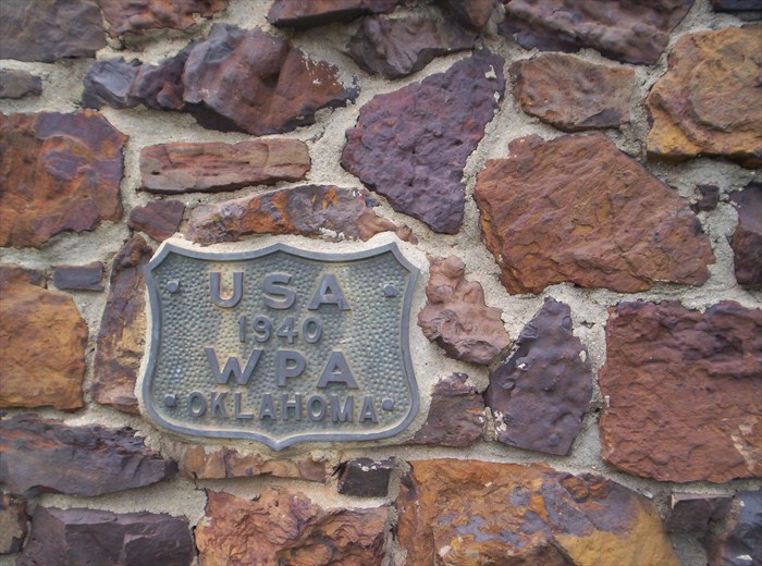
1940

Marked:
Yes

Description

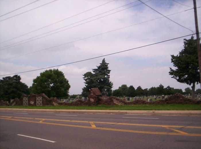
“The rock wall on the east and south sides of Gracelawn Cemetery on Danforth was completed in 1940 as a WPA project. Appearing to have been constructed out of leftovers from other projects (smile) it is extremely unique and fascinating.”   (https://www.waymarking.com)

Source notes

https://www.waymarking.com/waymarks/WM91CX_Gracelawn_Cemetery_Wall

Site originally submitted by hamquilter on November 14, 2013.

Location Info


Danforth Rd.
Edmond, OK 73034
Oklahoma County

Coordinates: 35.669412, -97.47959

Contribute to this Site

We welcome contributions of additional information on any New Deal site.

Submit More Information or Photographs for this New Deal Site
Join the Conversation

Please note:

  • We are not involved in the management of New Deal sites and have no information about visits, hours or rentals.
  • This page shows all the information we have for this site; if you have new information or photos to share, click the button above.

Your email address will not be published, shared, or sold.

This site uses Akismet to reduce spam. Learn how your comment data is processed.

Contribute to this Site

We welcome contributions of additional information on any New Deal project site.

Submit More Information or Photographs for this New Deal Site
Join the Conversation

Please note:

  • We are not involved in the management of New Deal sites and have no information about visits, hours or rentals.
  • This page shows all the information we have for this site; if you have new information or photos to share, click the button above.

Your email address will not be published, shared, or sold.

This site uses Akismet to reduce spam. Learn how your comment data is processed.