- City:
- Camanche, CA
- Site Type:
- Schools, Education and Health
- New Deal Agency:
- Unknown
- Started:
- 1935
- Quality of Information:
- Good
- Marked:
- No
- Site Survival:
- No Longer Extant
Description
The WPA contributed $101 in order to “Improve Comanche School.” WPA Project 65-3-2463, Application date 10-24-35.
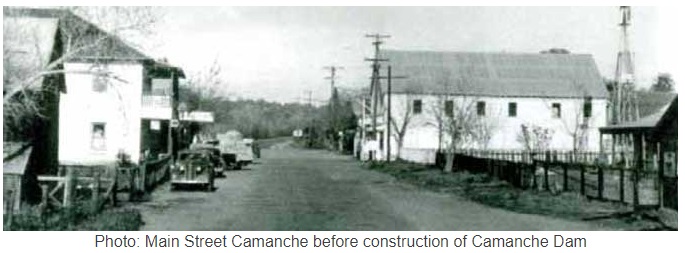
The town was founded in 1849 during the gold rush. Rich mining at nearby Cat Camp, Poverty Bar, and Sand Hill brought its population to a peak of 1,500. The town was inundated by the construction of the Camanche Dam by the East Bay Municipal Utility District EBMUD in 1963.
Source notes
WPA Job Card Fresno Public Library, San Joaquin Valley Heritage & Genealogy Center
Site originally submitted by Andrew Laverdiere on September 26, 2018.
Contribute to this Site
We welcome contributions of additional information on any New Deal site.
Submit More Information or Photographs for this New Deal Site
Join the Conversation