- City:
- Cleveland Heights, OH
- Site Type:
- Parks and Recreation, Infrastructure and Utilities, Tennis Courts, Amphitheaters and Bandshells, Athletic Courts and Fields, Sanitation and Water Disposal, Sidewalks and Stairs
- New Deal Agencies:
- Work Relief Programs, Works Progress Administration (WPA)
Description
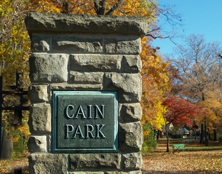
“Besides constructing the amphitheater, workers from the Great Depression-era Works Progress Administration (WPA) also helped drain the ravine which Cain Park is situated in, covering up and culverting the creek that ran through its center. Attractive landscaping, tennis courts, ball fields, and walking paths completed the transformation of the former “wild” land into a public park.”
Source notes
https://clevelandhistorical.org/items/show/193#.VfeZgWOd2M8Site originally submitted by Evan Kalish on September 14, 2015.
At this Location:
Contribute to this Site
We welcome contributions of additional information on any New Deal site.
Submit More Information or Photographs for this New Deal Site
Join the Conversation