- City:
- Bryce Canyon, UT
- Site Type:
- Infrastructure and Utilities, Airports
- New Deal Agencies:
- Work Relief Programs, Works Progress Administration (WPA)
Description
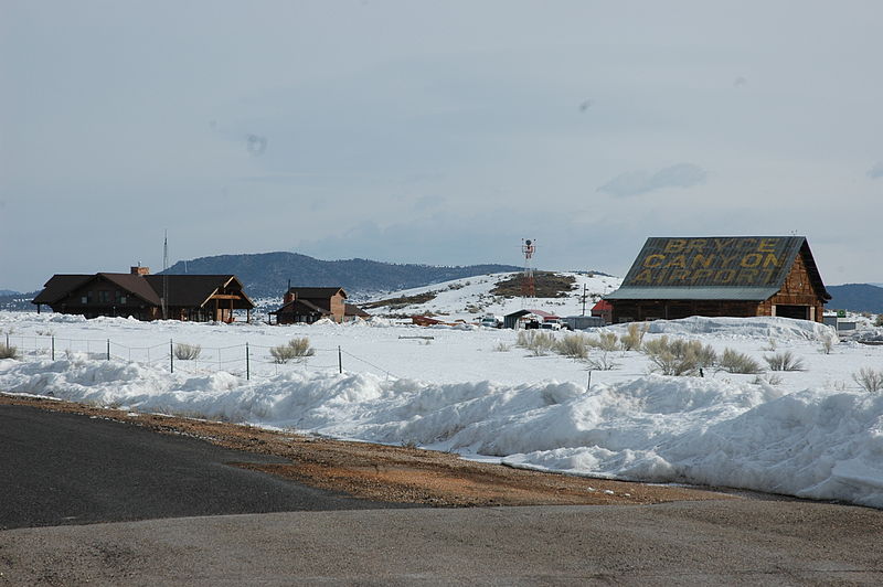
“The Garfield County Airport Hangar is significant as an unusual example of a log hangar. The hangar was built of local ponderosa pine by the Works Progress Administration in 1936. The hangar’s gabled roof is supported sawn wood trusses spanning 83 feet (25 m). The trusses are expressed on the outside and infilled with half-rounds of log, giving a half timbered effect. The hangar and airport were built by Garfield County and the WPA with the aim of attracting tourism to Bryce Canyon National Park, which had been designated in 1928.[3]
The timber used in the hangar shows the marks of the borers that infested the trees, which were harvested as part of a program to remove beetle-killed trees. The hangar is unique in its adaptation of local construction techniques to accommodate a new transportation technology.[3]
Bryce Canyon Airport was listed on the National Register of Historic Places in 1978.”
Contribute to this Site
We welcome contributions of additional information on any New Deal site.
Submit More Information or Photographs for this New Deal Site


Join the Conversation