- City:
- Brooklyn, New York City, Queens, NY
- Site Type:
- Infrastructure and Utilities, Roads, Bridges, and Tunnels
- New Deal Agencies:
- Public Works Funding, Public Works Administration (PWA)
- Started:
- 1934
- Completed:
- 1941
- Quality of Information:
- Very Good
- Site Survival:
- Extant
Description
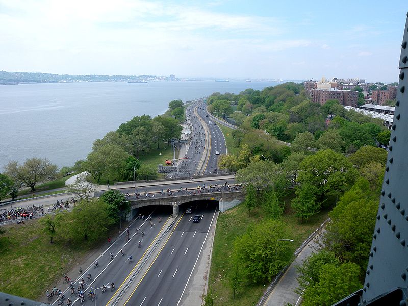
Originally called the “Circumferential Parkway, “this roughly 25 mile stretch of highways forms a “belt-like circle around the New York City boroughs of Brooklyn and Queens.” What is now known officially as the “Belt Parkway” is comprised of three other parkways: the Shore Parkway, the Southern Parkway and the Cross Island Parkway (formerly the Laurelton Parkway). (wikipedia)
Plans for the parkway were originally raised by Robert Moses in 1930, but construction did not begin in 1934. It was completed in 1941.
In addition to $16,000,000 in city appropriations, the PWA provided another $12,000,000 in federal funds for the construction of the parkway.
Source notes
Department of Parks, 1939 Press Release (pg. 283), www.nyc.gov Department of Parks, Press Release, December 1938 https://en.wikipedia.org/wiki/Cross_Island_Parkway https://en.wikipedia.org/wiki/Belt_Parkway#HistorySite originally submitted by Evan Kalish on July 5, 2013.
At this Location:
Contribute to this Site
We welcome contributions of additional information on any New Deal site.
Submit More Information or Photographs for this New Deal Site


Was It Corp of army engineers responsible building the Belt lead by Lt CONL John Mattiello?
Any Pictures of Ribbon Cutting 1941?