- City:
- New Bedford, MA
- Site Type:
- Infrastructure and Utilities, Military and Public Safety, Airports
- New Deal Agencies:
- Work Relief Programs, Works Progress Administration (WPA)
- Started:
- 1940
- Completed:
- 1942
Description
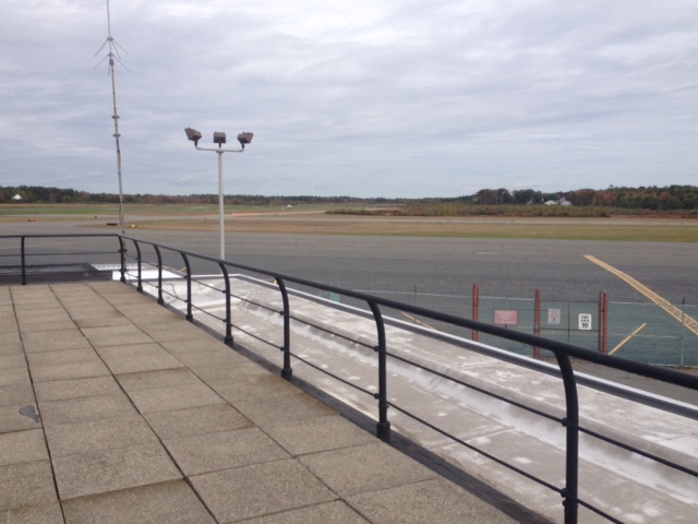
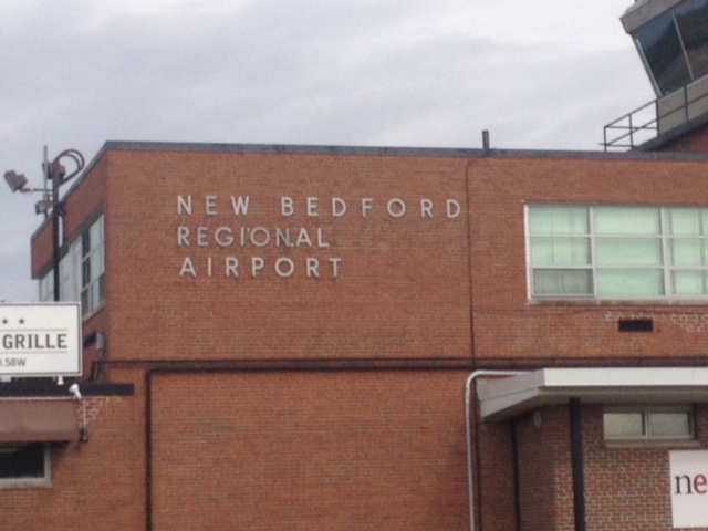
The Works Progress Administration had an active presence in New Bedford, providing funds for massive construction and city improvement efforts. Suggestions for an airfield near New Bedford first appear in documents from 1936, proposing a route “via Fall River and New Bedford to some centrally located point on Cape Cod. This route would be used mainly for summer traffic.” However, formal discussions do not appear until March of 1939, where it was proposed as a Works Project Administration project. Work on the New Bedford airfields officially began on April 9, 1940. It was dedicated a little over two years later, on April 28, 1942. At that time, the airport consisted only of two 3,500-foot runways with lighting.
Since its establishment, the airport and fields have served local and national purposes. Seven months after its completion, the airport was turned over to the US Government for World War II efforts, where it was occupied by the Army Air Corps (for coastal patrols) and the U.S. Navy (as a training post.) After the war, the airport was returned to the city, which primarily used the airport as a regional passenger hub. It is currently used for travel to Nantucket and Martha’s Vineyard, as well as flight school operation.
W.P.A. project details:
- “Construct municipal airport”
Official Project Number: 165‐1‐14‐807
Total project cost: $277,113.00
Sponsor: Mayor, City of New Bedford - “Construct municipal airport”
Official Project Number: 65‐1‐14‐2054
Total project cost: $418,442.00
Sponsor: Mayor - “Construct municipal airport”
Official Project Number: 65‐1‐14‐2984
Total project cost: $263,533.00
Sponsor: War Department
Source notes
https://archive.org/stream/progressreporton00mass/progressreporton00mass_djvu.txt
https://www.southcoasttoday.com/apps/pbcs.dll/article?AID=/20140928/NEWS/140929938/-1/NEWSMAP
https://www.newbedford-ma.gov/airport/history/
https://www.portofnewbedford.org/cruise/about-the-harbor/history.php
Nationwide Context, Inventory, and Heritage Assessment of Works Progress Administration and Civilian Conservation Corps Resources on Department of Defense Installations, July 2009 (page C-74).
Site originally submitted by Emily Esten on November 5, 2014.
Additional contributions by Evan Kalish.
Contribute to this Site
We welcome contributions of additional information on any New Deal site.
Submit More Information or Photographs for this New Deal Site


Join the Conversation